Kitty Hawk Bay (Kill Devil Hills, NC)
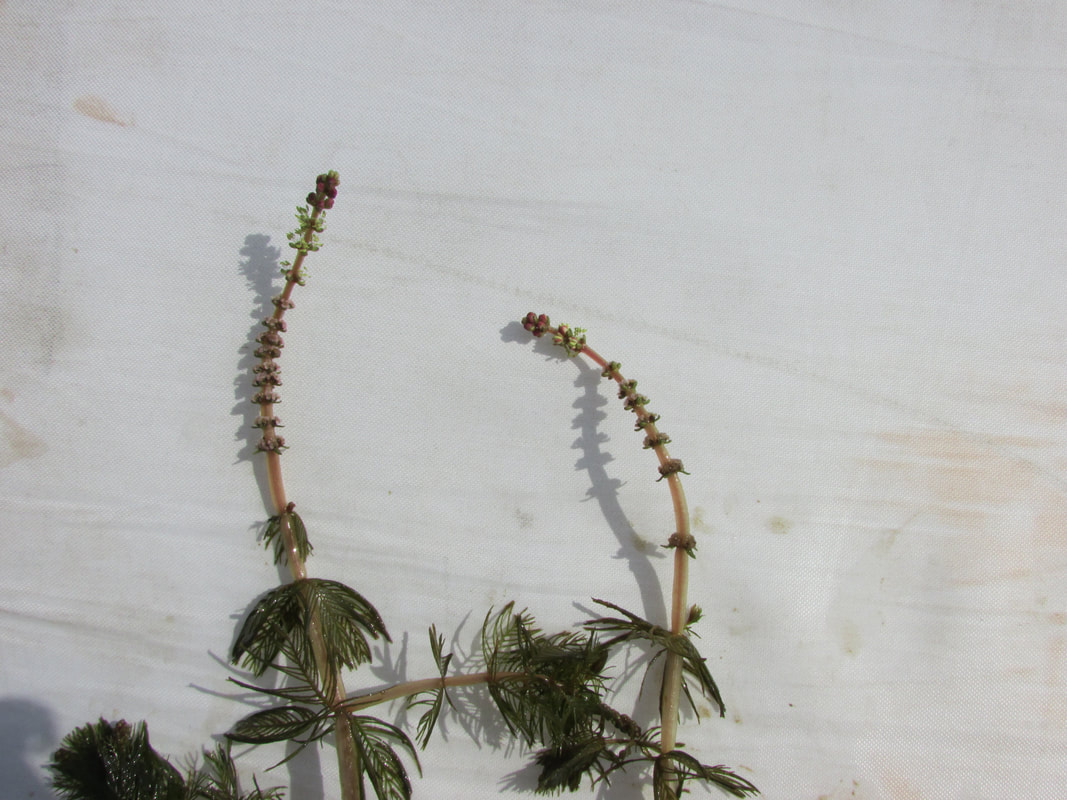
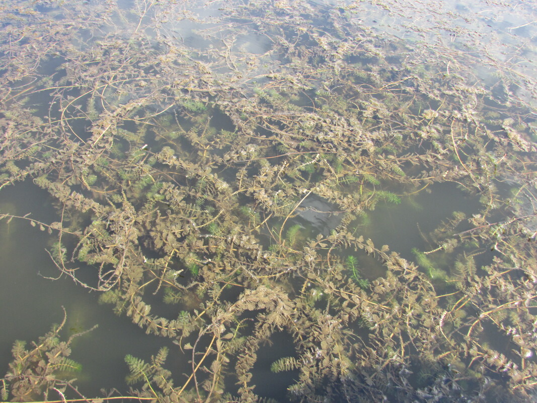
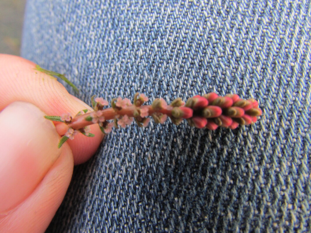
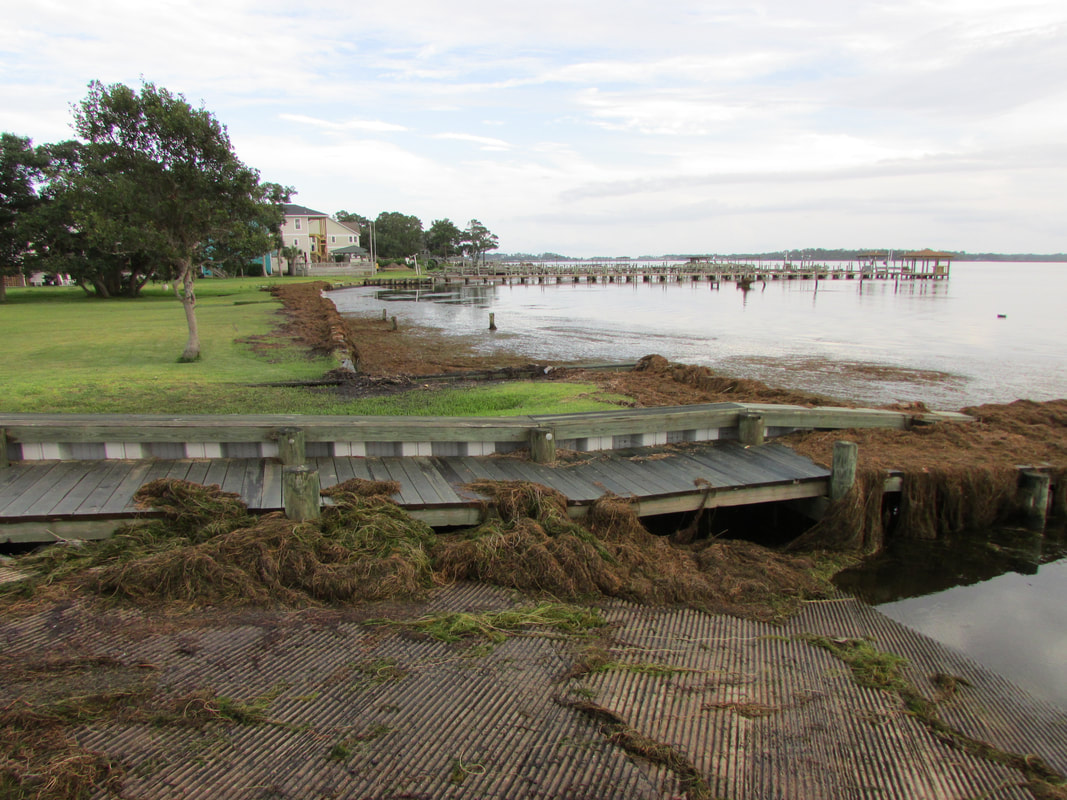
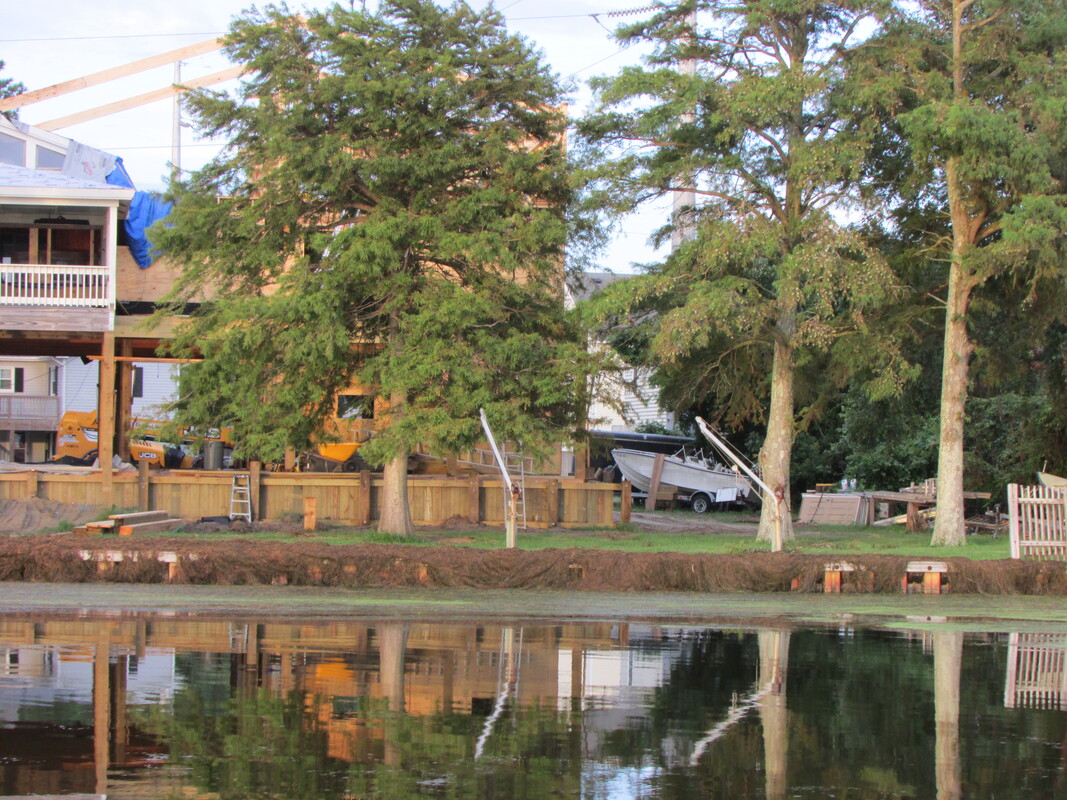
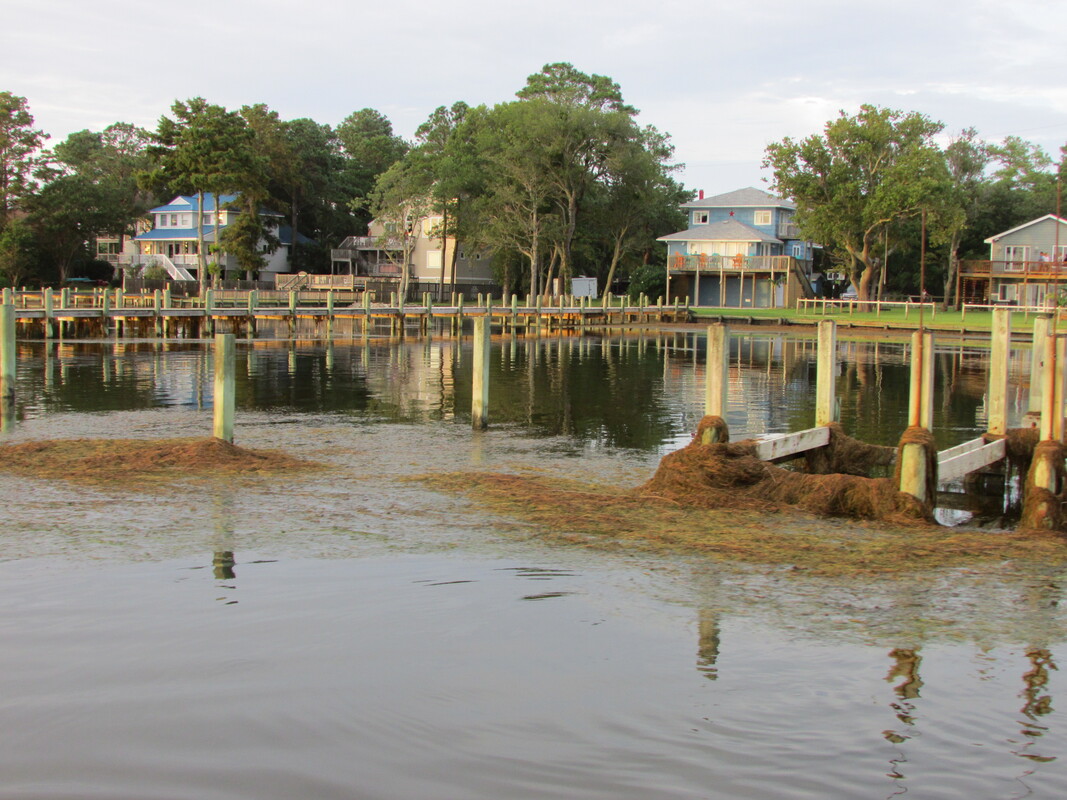
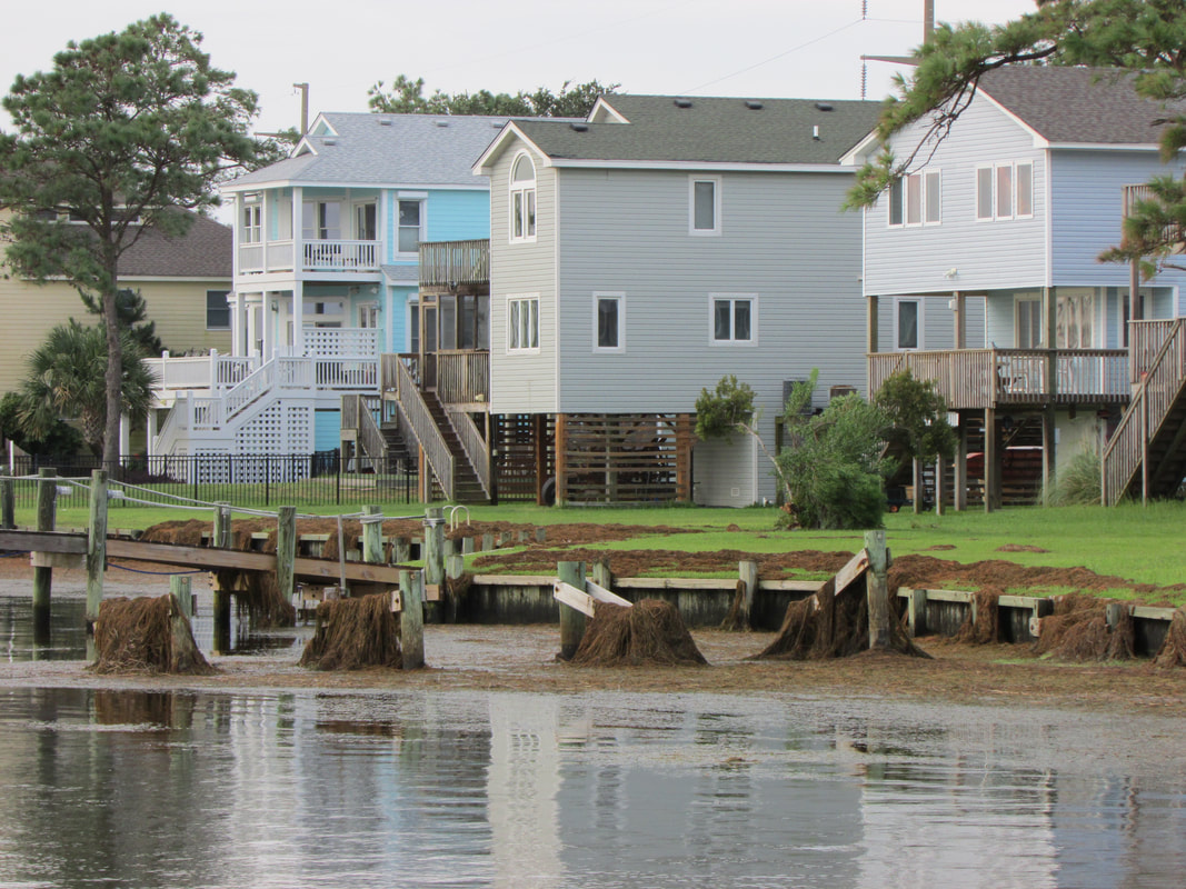
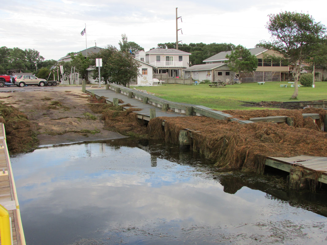
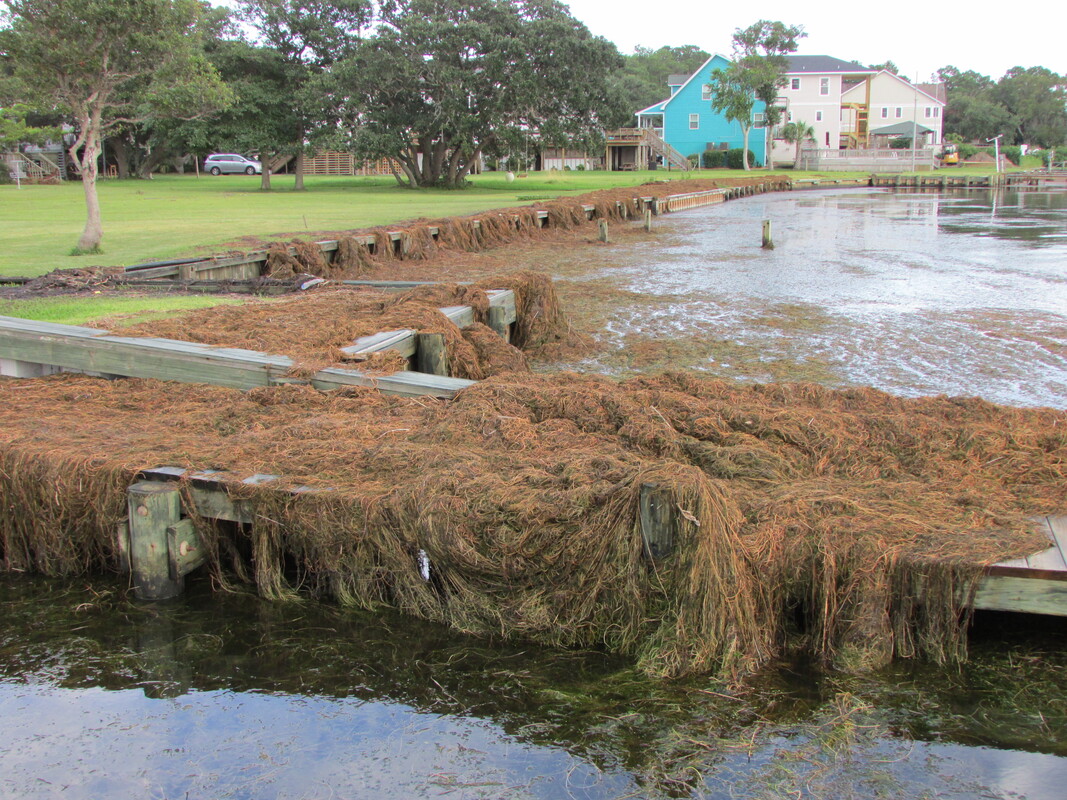
The following 7 photos were taken on 8/5/20. These photos document aftermath of Hurricane Isaias. More specifically, these photos depict the large quantity of submersed aquatic vegetation (SAV) that the storm deposited on the public boat ramp and surrounding docks and seawalls. The SAV is a mix of Ruppia (a native seagrass) and an invasive aquatic plant called Eurasian Watermilfoil.
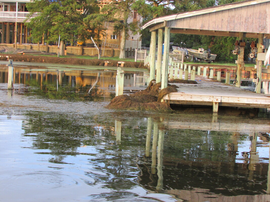
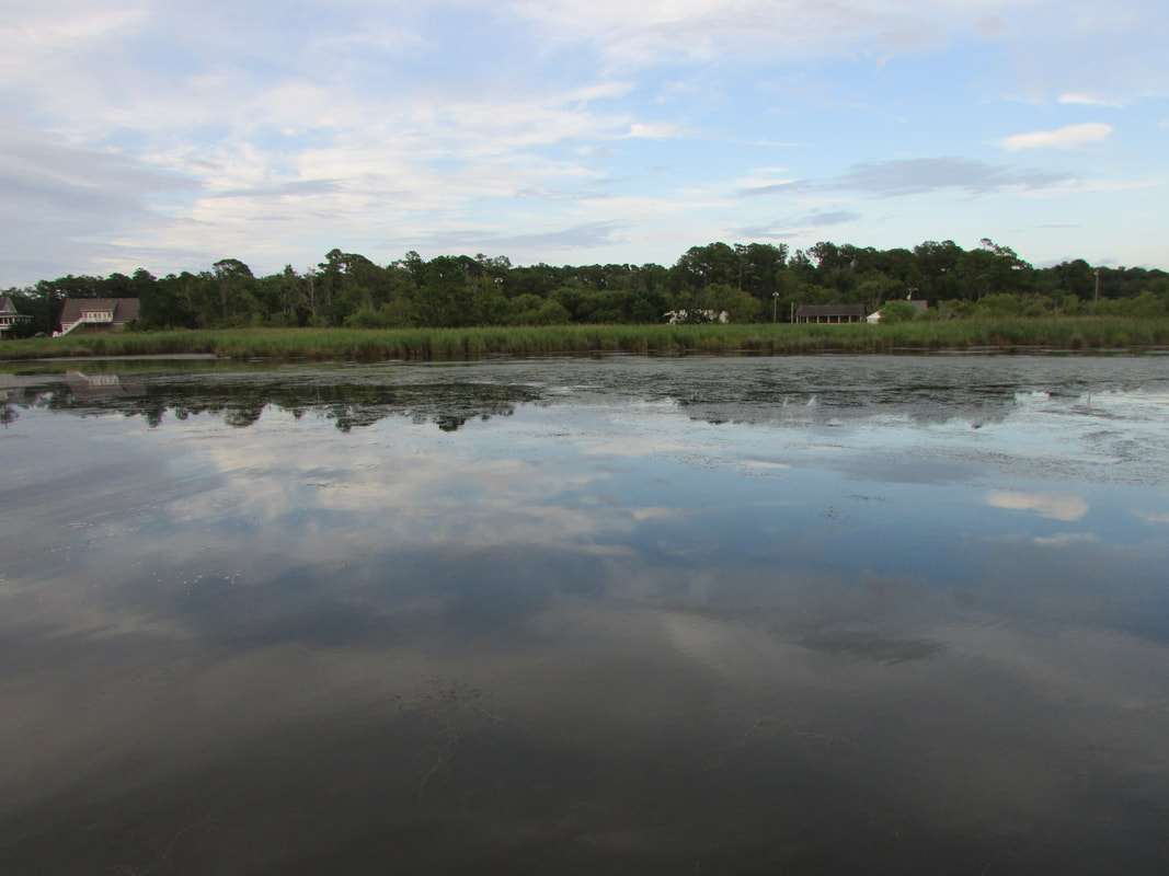
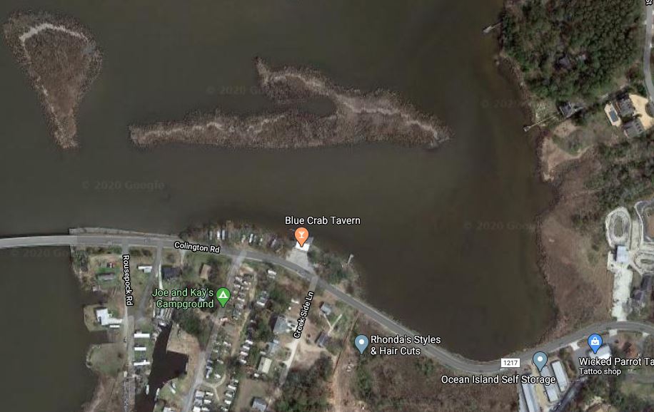
The following 11 photos are of the southern reach of KHB, one of the photos being an aerial image. The aerial image captures the landing of Colington Bridge (left edge of photo) and Colington Creek. Dense growth of Eurasian Watermilfoil has been observed in this area, especially throughout the cove shown in the bottom right corner of aerial image. Most of the area between the shoreline and out to the cluster of marsh islands is occupied by Eurasian Watermilfoil.
The first and second photo was taken on 8/5/20.
The last eight photos were taken on 8/9/17.
The first and second photo was taken on 8/5/20.
The last eight photos were taken on 8/9/17.